The road from Marrakech to the Sahara is one of the great drives in Africa. You leave a city of souks, noise and roses, cross a mountain range that still feels improbable, drop through a valley of 200 kilometres of palm trees, and arrive, eventually, after one last hour in a 4x4 across open dunes, at a silence so total it takes a night to fully believe it.
Most tour operators describe this as a “transfer.” We prefer to call it the first act. Here is every stop worth making.
The Full Route at a Glance
| Leg | Distance | Driving Time |
|---|---|---|
| Marrakech to Aït Benhaddou | 190 km | ~3h |
| Aït Benhaddou to Ouarzazate | 32 km | 30 min |
| Ouarzazate to Agdz | 75 km | 1h |
| Agdz to Zagora | 90 km | 1h 15min |
| Zagora to M’Hamid El Ghizlane | 98 km | 1h 30min |
| M’Hamid to Erg Chegaga (by 4x4) | 55 km | 1h |
| Total | ~540 km | ~8 to 9h driving |
We recommend splitting the journey over two days: one night in Ouarzazate or the Drâa Valley, arriving at the camp the following afternoon. Rushing the drive in a single day is possible, but you miss the point.
Stage 1: Marrakech to the Tizi n’Tichka Pass
Distance: 105 km | Time: ~2h
Leave Marrakech early. The N9 road climbs steadily from the moment you pass the southern edge of the city. Within 45 minutes, the red plains of the Haouz give way to the first folds of the High Atlas: terracotta villages stacked on hillsides, argan trees on the lower slopes, then bare rock and snow-dusted ridgelines as you rise.
The Tizi n’Tichka Pass sits at 2,260 metres, the highest paved mountain pass in North Africa. On clear days, which is most days, the view back toward Marrakech is extraordinary. Stop at one of the small roadside stalls for a glass of mint tea. The air is genuinely cold at altitude, even in summer.
Practical notes
- Take the N9 (not the toll motorway to Beni Mellal)
- The road is paved and well-maintained but winding; avoid overtaking on blind bends
- Fuel in Marrakech, as the next reliable station is Ouarzazate
- Winter (December to February): occasional snow closures at the pass; check conditions
Stage 2: Aït Benhaddou
32 km from Tizi n’Tichka summit | +1h detour from main road
Non-negotiable. The UNESCO-listed ksar of Aït Benhaddou is the most intact example of southern Moroccan earthen architecture in existence: a fortified village built entirely of pisé (rammed earth) rising from the banks of the Ounila river. You have seen it without knowing: it has appeared in Gladiator, Lawrence of Arabia, Game of Thrones, and dozens of other productions.
Cross the river (stepping stones in dry season, a footbridge when it flows), walk to the uppermost granary, and look south. That direction, flat, red, vast, is where you are going.
Allow two hours. There is a good msemen (Moroccan flatbread) stall at the entrance and a handful of small restaurants above the river.
Stage 3: Ouarzazate, the Hollywood of Africa
32 km from Aït Benhaddou | ~30 min
Ouarzazate (pronounced “war-zah-zat”) is a proper town: fuel, ATMs, pharmacies, a supermarket, and a decent hotel scene. It is also home to the largest film studio on the African continent, CLA Studios, where Lawrence of Arabia, Babel and The Mummy were shot. If you have a film interest, the studio tour is worthwhile.
Lunch recommendation: The terrace restaurants along the main avenue du Mohammed V serve reliable tagine and mechoui. The ones overlooking the Drâa river offer better views than food, but in Morocco, that is sometimes enough.
Allow 1 to 2 hours. Stock up on snacks and water here, as the stretch south to Zagora has limited stops.
Stage 4: The Drâa Valley, 200 Kilometres of Palm Trees
75 km from Ouarzazate to Agdz | ~1h | Then 90 km to Zagora | ~1h 15min
This is the heart of the journey.
Leaving Ouarzazate, the road climbs briefly over the Tizi n’Tinifift pass (1,660m) before descending into the Drâa Valley, the longest palm grove in the world, stretching nearly 200 kilometres from Agdz to M’Hamid. The valley is flanked by dark volcanic hammada (rocky plateau) on both sides, and the ribbon of green below feels almost implausible against all that mineral harshness.
Agdz
The first village of consequence in the valley. A small kasbah sits at its edge, and the weekly souk (Thursday) is worth timing for if you can. The road through Agdz narrows; slow down and let the town breathe.
Zagora
Larger than it looks on the map. The famous sign “Tombouctou, 52 jours” (Timbuktu, 52 days, by camel) marks the town centre and the beginning of the true Saharan approach. Zagora is the last town with a proper supermarket, a petrol station, and mobile signal before M’Hamid. Stop here.
Lunch or dinner in Zagora: Riad Dar Sofian has a pleasant terrace. The market near the central mosque sells excellent local dates; buy a bag, they will appear on your breakfast table at camp, but having them for the road is better.
Stage 5: Zagora to M’Hamid El Ghizlane
98 km | ~1h 30min
The road south from Zagora follows the Drâa river as it thins and disappears. The palm groves become more scattered. The villages become smaller. The landscape opens, wide, flat, increasingly mineral. By the time you reach Tamegroute, the lush oasis valley is a memory.
Tamegroute (optional detour, 20 min)
A small village famous for its 11th-century Koranic library (one of the oldest in Morocco) and its distinctive green-glazed pottery. The potters work in the same cooperative they have occupied for centuries. Worth a brief stop.
Erg Lihoudi
Literally “the Jewish dune”, a modest erg (sand dune field) visible from the road near the village of the same name. The first dunes of the journey. A preview.
M’Hamid El Ghizlane
The road ends. Not dramatically: M’Hamid is a quiet, dusty oasis town, population a few thousand, with a weekly Monday market that brings in nomads from the surrounding desert. There is a petrol station (fill up, there is no fuel in the desert), two or three simple restaurants, and a handful of desert camp offices.
This is where your private 4x4 transfer meets you.
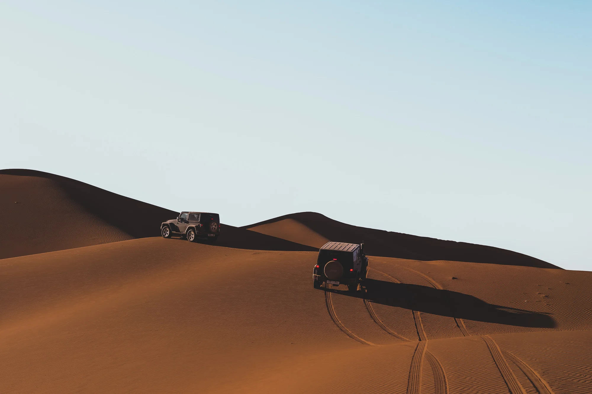
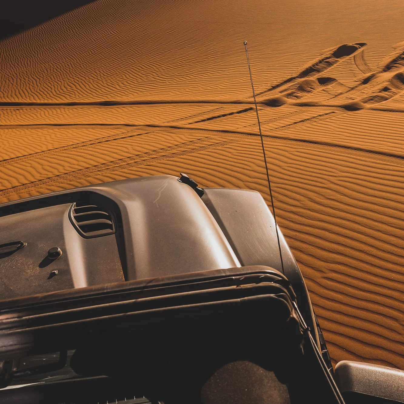
Stage 6: M’Hamid to Erg Chegaga by 4×4
~55 km | ~1 hour
The piste from M’Hamid to Erg Chegaga crosses three distinct desert landscapes: the hammada (dark volcanic stone), the reg (flat gravel plain), and finally the erg itself, the great sea of orange sand dunes that rises from the flat earth without warning, massive and perfectly silent.
This is not a road. It is a track. Your driver knows it by memory and by landmarks that appear identical to every untrained eye. Trust him.
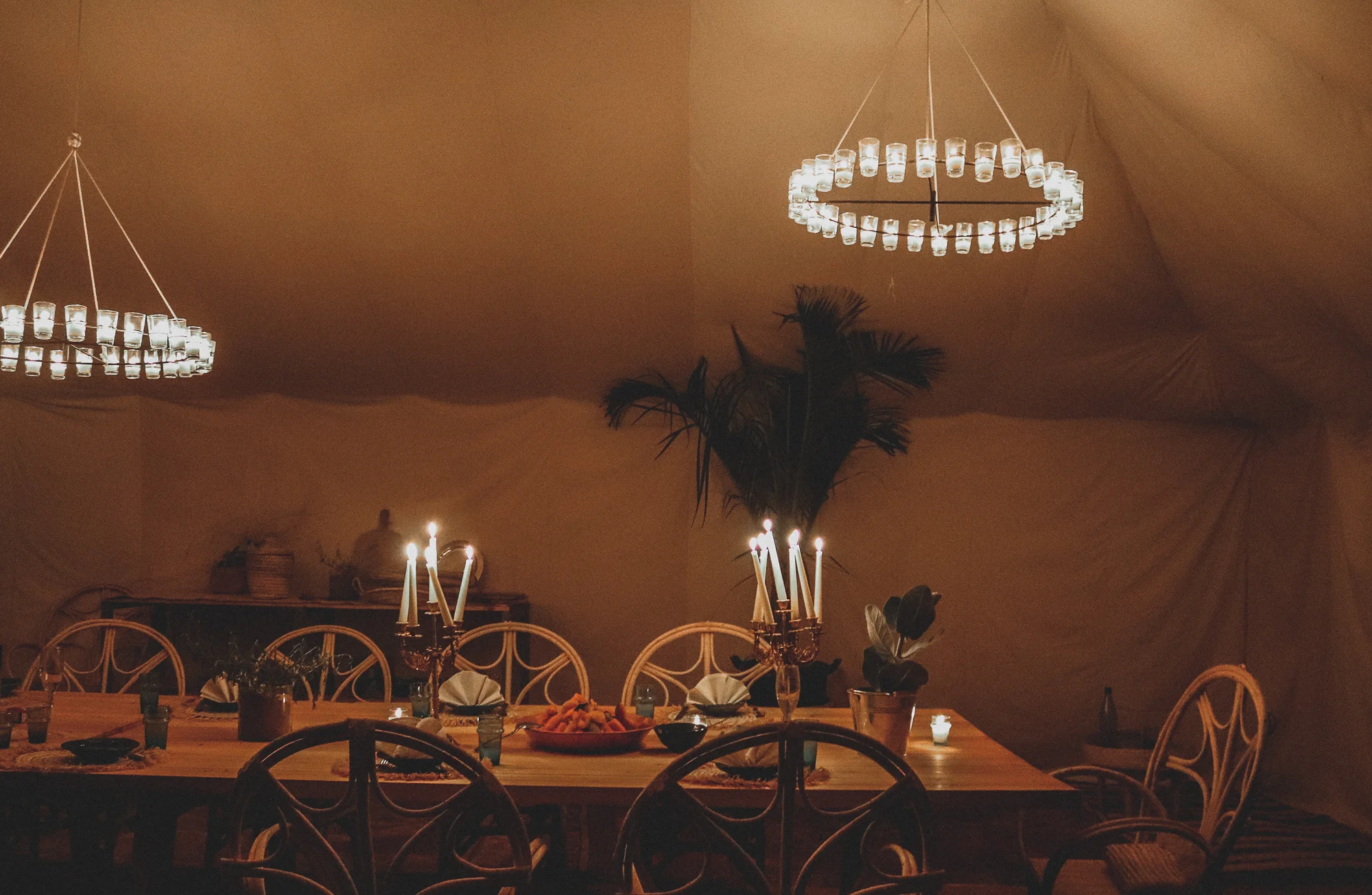
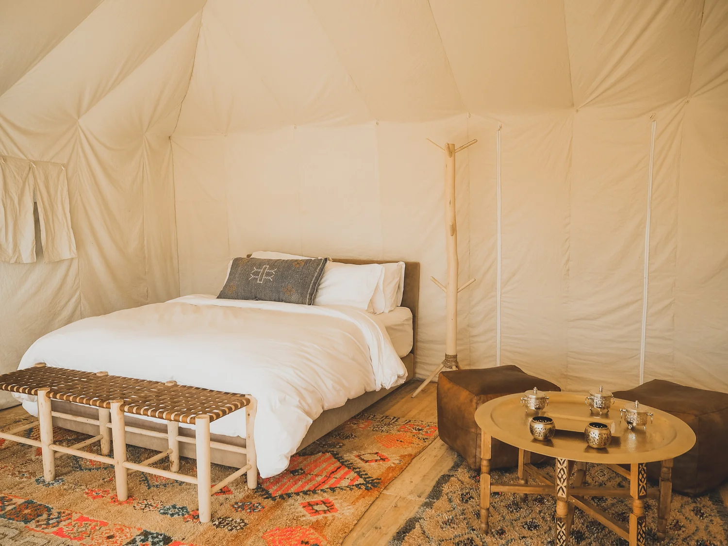
The dunes of Erg Chegaga are some of the tallest and most remote in Morocco, 40 to 100 metres, stretching over 40 kilometres. Unlike Erg Chebbi (Merzouga), Erg Chegaga has no village at its base, no hotel strip, no noise. The camp sits in a hollow between the dunes, invisible from any direction until you are inside it.
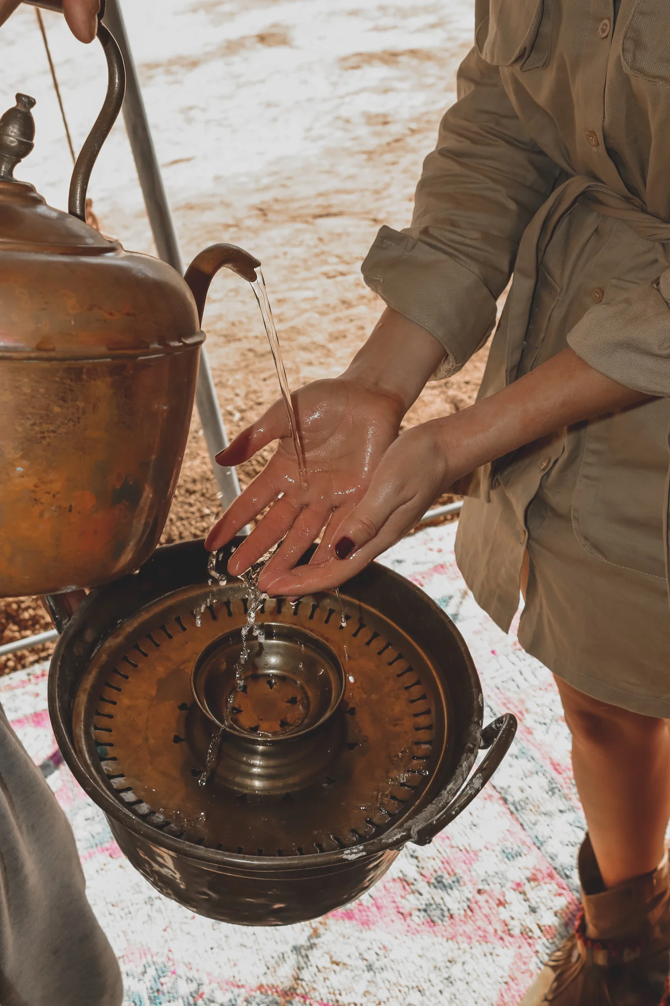
When you arrive, someone will bring you a glass of Berber tea. Sit down. You have made it.
Practical Information
Best time to make this drive
- October to April: ideal temperatures (18 to 28 °C), comfortable driving
- July to August: very hot (40°C+); the drive is manageable, the desert less so mid-afternoon
- December to February: cold nights, possible snow on Tizi n’Tichka; the valley and desert are perfect
Should I drive myself or hire a driver?
The road to Zagora is straightforward. The piste from M’Hamid to Erg Chegaga requires a 4x4 and knowledge of the terrain; do not attempt it alone unless you are an experienced off-road driver with GPS, extra fuel and emergency supplies. Umnya Desert Camp provides private 4x4 transfers from M’Hamid as part of all stays.
Can I get there by bus?
Yes, CTM buses run from Marrakech to Zagora and from Zagora to M’Hamid. But at that point you still need a 4x4 to reach the camp. We can arrange an M’Hamid pickup for guests arriving by bus.
What about helicopter?
Marrakech to Erg Chegaga takes 60 to 75 minutes by helicopter. If speed matters or the drive does not interest you, we can arrange helicopter transfers. The landing pad is at camp.
Frequently Asked Questions
How long does the full drive take? Marrakech to Umnya Desert Camp takes approximately 8 to 9 hours of driving time, not including stops. Most guests split it over two days, spending a night in Ouarzazate or the Drâa Valley.
Is the road safe? The N9 and the Drâa Valley road (N9/P3107) are paved, well-maintained and very safe. The only demanding section is Tizi n’Tichka in winter ice conditions. The piste from M’Hamid to the camp requires a 4x4, and we provide transfers.
Is there mobile signal along the route? Yes, throughout the paved section. Signal diminishes significantly after M’Hamid and is essentially absent in the deep desert. The camp has limited WiFi in the main lounge.
What should I bring for the drive? Water (minimum 2 litres per person), snacks, sun protection, and a playlist. The mountains and valley are beautiful enough that stopping frequently is a temptation.
Umnya Desert Camp is located in Erg Chegaga, 55 km south of M’Hamid El Ghizlane. All stays include a private 4×4 transfer from M’Hamid. Helicopter transfers from Marrakech are available on request. Plan your journey →