If you look at a satellite image of southern Morocco, one feature stops the eye. West of the Drâa Valley and south of the Anti-Atlas, there is a vast oval of pale white in the desert, roughly 65 kilometers long and 15 kilometers wide. It is labeled on most maps as Iriki or Lake Iriki, but most maps give it a small footnote, and most travelers have never heard of it.
This is the largest dry salt lake in southern Morocco. It is forty kilometers west of Umnya Desert Camp. And it is, without exaggeration, one of the most surreal landscapes in the country.
What Iriki Is (and What It Is Not)
Iriki is a sebkha, the Arabic term for a closed basin that seasonally collects rainwater and evaporates, leaving salt deposits on the surface. In geological terms, it is a relict lake basin from the last wet period of North African climate, approximately 10,000 years ago.
Today, Iriki is:
- Dry most of the year (typical November-May condition)
- Crusted with salt and gypsum on the surface
- Flooded occasionally in winters with significant rain (roughly 1 in 4 years)
- Seasonally inhabited by semi-nomadic Aït Atta Berber families who graze goats and dromedaries on the sparse vegetation around the edges
- Protected (officially part of the Iriki National Park since 1994, though enforcement is minimal)
It is not:
- A permanent lake (do not expect water unless you come in a wet-season year)
- Accessible by standard road (4x4 required for the final approach)
- A tourist destination in the conventional sense (no visitor infrastructure)
- A Dead Sea equivalent (salt content varies; swimming is not the point)
The Landscape Experience
Standing at the eastern edge of Iriki, looking westward, you see something that does not exist anywhere else in Morocco.
The ground beneath your feet is not sand. It is a crust of salt and dried clay, cracked into geometric polygons roughly the size of dinner plates. The polygons crunch under each step. To the west, the salt extends flat to the horizon, no dunes, no hills, nothing except the crust and the sky.
In dry conditions, the sensation is lunar. The color is pale, beige, off-white, occasionally pink where iron oxides surface, and the light is intense. The silence is absolute. Unlike the dunes of Erg Chegaga, which have a soft, variable quality, Iriki is hard, angular, and stern.
In wet conditions (usually January-March after heavy rain), Iriki transforms. A thin layer of water covers portions of the basin, and the landscape becomes a mirror. The surrounding dunes and mountains reflect in the water. Clouds passing overhead appear as clouds beneath you. Photography during this period is extraordinary.
When Iriki Floods
Iriki floods when the cumulative rainfall in the Anti-Atlas mountains exceeds roughly 40mm over a two-week period. This happens irregularly, in our eight years at Umnya, we have seen significant flooding in 2019, 2022, and 2026 (following unusual winter rains).
The flooding pattern:
- Rain falls in the mountains north and west of the basin
- Runoff accumulates in wadis (dry riverbeds) that feed Iriki
- Water reaches the basin 3-7 days after rain events
- Inundation spreads across part or all of the basin
- Evaporation begins immediately (the rate is approximately 2-4mm per day in winter)
- The basin returns to dry within 30-90 days depending on the volume
If you visit during or just after a flooding event, you see Iriki in its mirror state, rare and photogenic. Local birders know this, and flamingo sightings sometimes occur (migratory flocks rest at Iriki when conditions permit).
Birds at Iriki
When water is present, Iriki becomes one of the only freshwater stops in the southern Sahara. Migratory birds that pass through in autumn (September-November) and spring (February-April) may include:
- Greater flamingo (Phoenicopterus roseus), sometimes in flocks of 20-200
- Black-winged stilt (Himantopus himantopus)
- Avocet (Recurvirostra avosetta)
- Kentish plover (Charadrius alexandrinus)
- Various sandpipers and waders
- White stork (Ciconia ciconia), migratory, resting briefly
Around the dry basin year-round:
- Cream-coloured courser
- Temminck’s lark
- Hoopoe lark
- Trumpeter finch
For the full biodiversity picture, see our Erg Chegaga wildlife guide.
The Cultural Dimension: The Aït Atta Nomads
Iriki is, despite its apparent emptiness, lived-in space. For centuries, the semi-nomadic Aït Atta Berbers have herded goats and dromedaries across the basin edges, moving seasonally to follow the vegetation.
Today, perhaps 300-500 Aït Atta families still practice semi-nomadic pastoralism in the broader Iriki region. They spend winters in the basin margins (where mist and occasional flooding produce grass) and summers further north in the Anti-Atlas, following cooler altitudes.
Meeting an Aït Atta family in the basin is possible but not guaranteed. Our guides know where the families typically camp in winter and can sometimes arrange a tea invitation. The interaction is not staged: the families are genuinely pastoral, their tents (traditional black wool) are where they actually live, and the conversation (in Berber with French or Arabic interpretation via our guide) is peer-to-peer.
This is one of the last places in Morocco where nomadic pastoralism remains a meaningful livelihood rather than a cultural performance.
How to Visit Iriki from Umnya
Day trip option (most common)
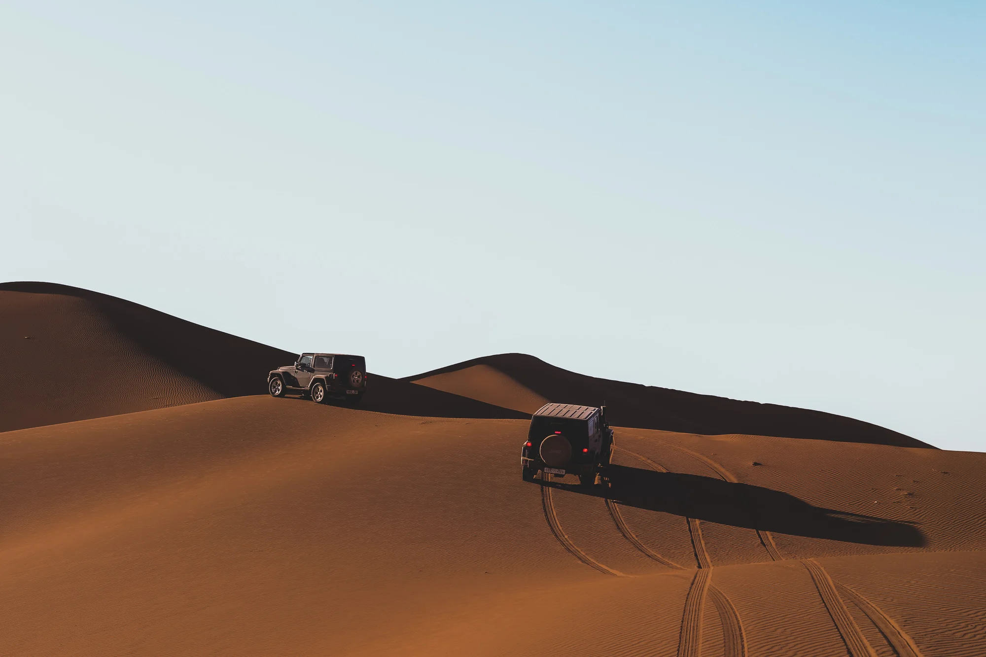
Full-day excursion, 4x4 only:
- 08:00, Depart Umnya
- 09:30, Arrive eastern edge of Iriki
- 09:30-12:30, Walk on the salt crust, photograph, silence
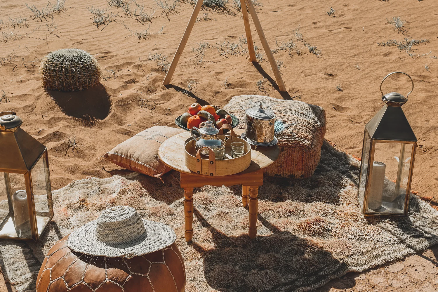
- 12:30-14:30, Lunch at a shaded dune edge (packed by our kitchen)
- 14:30-16:30, Continue west to deeper basin; if conditions permit, drive across the flats
- 17:00, Return toward Umnya
- 18:30, Arrival in time for sunset
Multi-day trek option
Iriki is a natural terminus for 3-5 day trekking routes from Umnya. See our Erg Chegaga trekking guide for the standard 3-day loop that includes Iriki.
Photography-focused option
For photographers seeking the mirror effect or dramatic light, we can time a trip around weather. A bivouac at the basin edge allows sunrise and sunset photography. Pre-plan with our team at least 4 weeks ahead.
Practical Considerations
- Footwear: the salt crust can cut soft soles. Wear sturdy shoes, not sandals.
- Hydration: 3L minimum per person for a day visit. Salt exposure accelerates dehydration.
- Sun protection: the salt surface reflects UV. Wide hats, sunglasses, SPF 50+ essential.
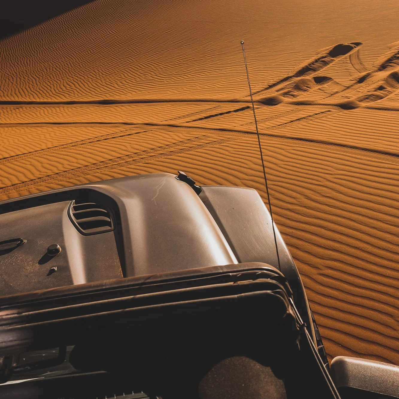
- Vehicle: 4x4 only. The approach tracks are unmarked and can be destroyed by rain.
- Navigation: do not attempt without a local guide. GPS coordinates alone are inadequate in a featureless landscape.
- Leave no trace: whatever you bring, you take out. The salt crust preserves footprints for weeks.
Why This Matters
In an era when most wilderness has been found, mapped, and Instagrammed, Iriki remains genuinely under-visited. The region receives perhaps 1,500-2,000 tourists per year (compared to 800,000+ annual visitors to Merzouga). There are no hotels at the basin. There are no guided group tours running on schedule. There is no signage, no gift shop, no café.
What there is: a vast, strange, old landscape that continues to exist without needing to be famous.
For guests at Umnya interested in landscapes that feel untouched rather than marketed, Iriki is the most direct option available. It is why several photographers and writers who visit us ask about Iriki first and the dunes second.
Further reading for landscape explorers: